Nimba Regional Atlas
The Nimba Mountains are a biodiverse highland region surrounded by lowland rainforest and savanna, situated on the border of Guinea, Liberia and Côte d'Ivoire. The Nimba Range is part of a World Heritage Site and tranboundary reserve, harbouring many endemic and near-endemic species. Some of the highest quality iron ore in the world has also been found in the Nimba Range.
Fauna & Flora International are leading a Darwin Initiative Project to develop a cross-sectoral and tri-national environmental governance platform for the Nimba Mountains. As part of this, ERA is developing a Nimba Mountains Resource Atlas to illustrate the distribution, challenges and opportunities for conservation, community and commerce across the region. In particular, the atlas will highlight the location of protected areas, infrastructure, mining and forestry within the Nimba Range.
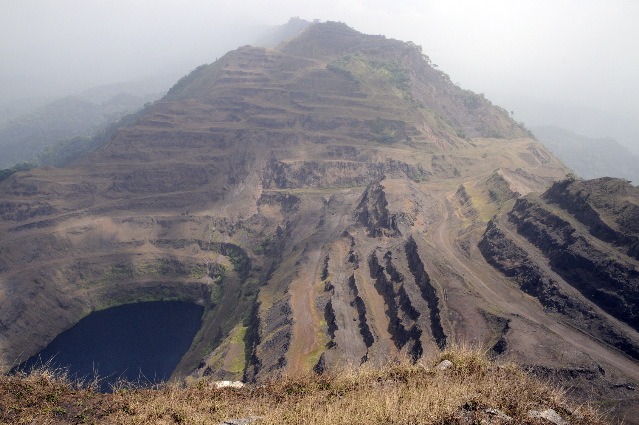
Legacy Mine, Nimba Mountains. Photo: © Colin Harris. Preparation of the atlas requires integration of data from a wide range of sources. The final product will feature detailed descriptions of the local environment, high quality colour maps and carefully selected illustrations to convey the physical characteristics, biological and mineral resources, communities and infrastructure across the region.
A GIS database for the Nimba Mountains is also being developed as part of this Darwin Initiative project, aiming to significantly improve the integration and flow of geographic data across the region.
Katharina Lorenz is the ERA contact point for the Nimba Mountains Resource Atlas.
